A drone rehearsed a Moon landing and steered itself away from a bad spot
NASA's SPLICE guidance payload flew simulated lunar descents on a drone, mapping the ground below and diverting if the target looked unsafe.
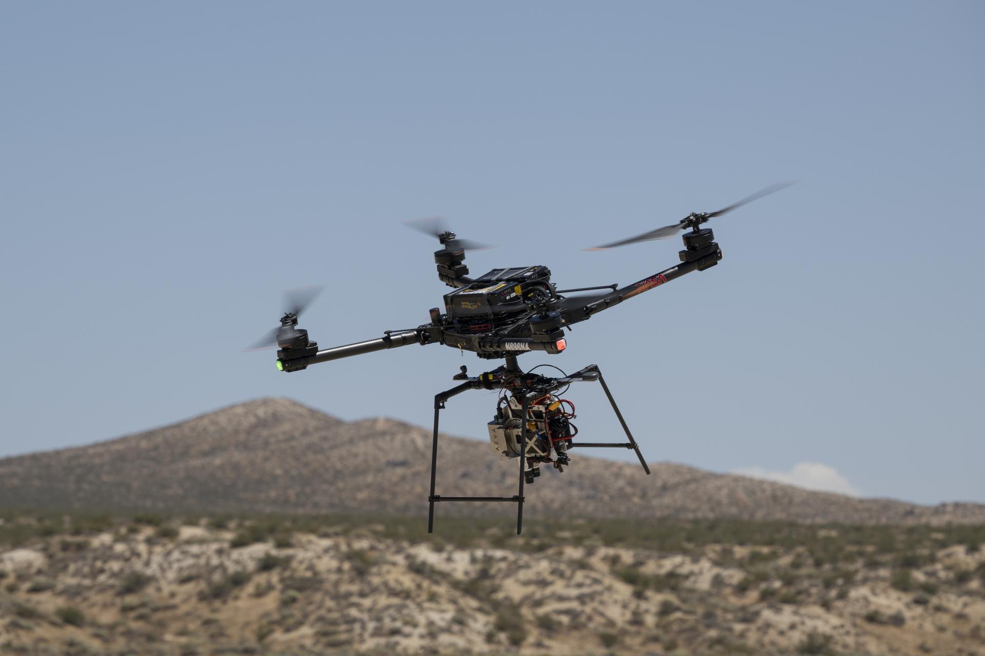
NASA reports that an Alta-X drone carrying its SPLICE landing-navigation payload flew simulated lunar descents on Aug. 27 at Rogers Dry Lake, California. The system maps the ground and diverts if the landing area looks unsafe.
A four-rotor drone stands in for a lander
SPLICE stands for Safe and Precise Landing – Integrated Capabilities Evolution. It is a package of sensors, software and a computer meant to let a spacecraft pick its own safe touchdown spot, without waiting for instructions from Earth. Researchers at NASA’s Johnson Space Center in Houston built the payload.
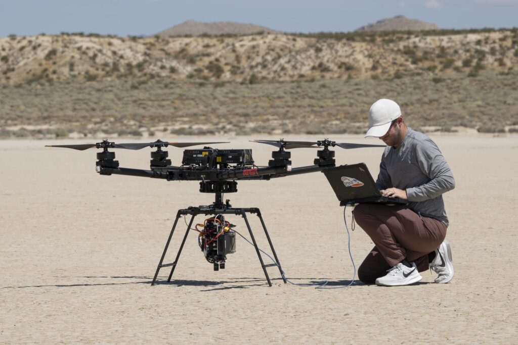
For the Aug. 27 flight, near NASA’s Armstrong Flight Research Center in Edwards, the payload rode on an Alta-X, a remotely piloted drone with four rotors. It flew simulated lunar descent and landing maneuvers. During the runs, the payload used an advanced guidance system to map the terrain and judge potential landing areas. If the target was judged unsafe, the system sent the drone to a safer location.
The maps come from a lidar, a sensor that measures distance with laser light. According to NASA, the system turns that data into high-resolution digital elevation maps, which show the height of the ground point by point.
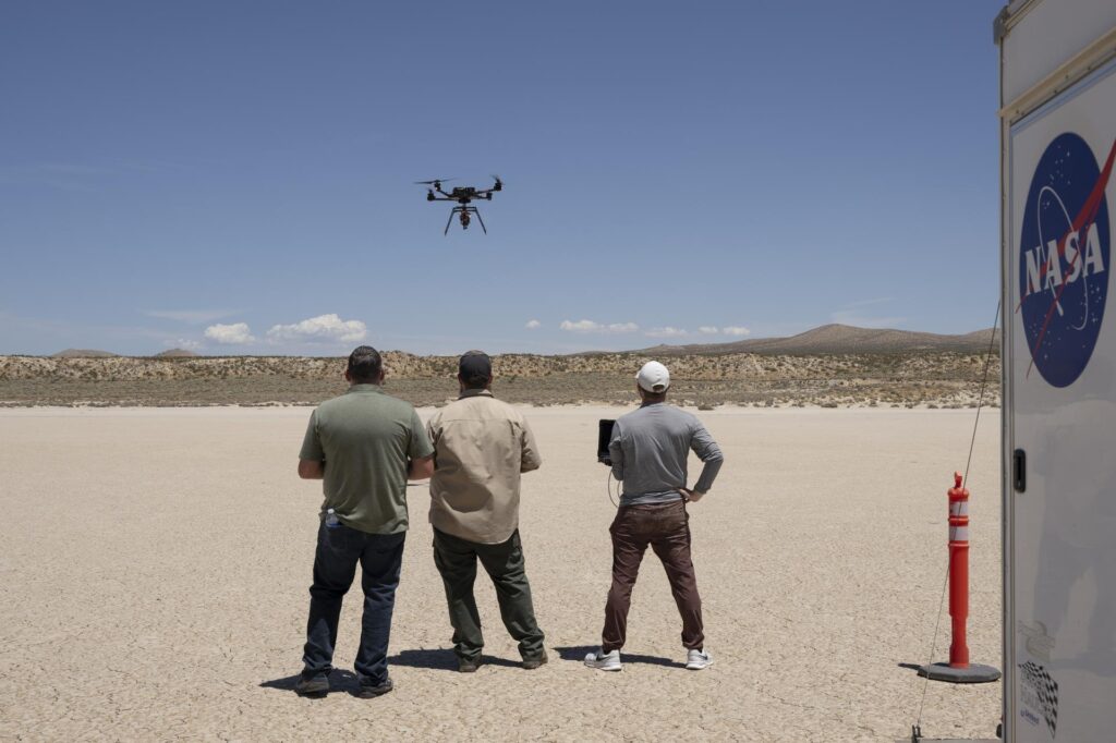
Earlier tests in June and July checked that the payload and the drone could exchange communications, data, telemetry and commands. Armstrong specialists integrated and flew it, and NASA says those checks were preparation for a full-scale test at Voyager Technologies in Mojave, California.
Nearly a decade of work, now closer to a flight
NASA project manager Davis Adams called the flight the culmination of almost a decade of work, for the SPLICE project
. He said it raised the technology readiness level, the scale NASA uses to rate how mature a technology is, and primed it for future robotic and crewed lunar flights. Adams added that the guidance and navigation validation applies to descent and landing on Earth, the Moon and Mars.
The path to this point ran through earlier flights. NASA’s Flight Opportunities project, based at Armstrong, supported testing early on. That included a 2019 flight with a descent altitude and landing path similar to a lunar mission, and a 2020 demonstration of two NASA-developed precision landing sensor systems.
How the work is split across NASA, and who gets it
The drone is a cheap, repeatable way to try ideas that a real lander can only test once. The strategy behind SPLICE is to mature the technology inside NASA, then hand it to industry. NASA’s SPLICE project page shows how many parts of the agency contribute. Johnson leads the project and builds the descent and landing computer. Langley provides a Doppler lidar that measures speed and altitude. Goddard supplies the hazard detection lidar. NASA’s Jet Propulsion Laboratory contributes hazard detection algorithms. Draper, in Cambridge, Massachusetts, provides terrain-matching navigation software.
The same page gives figures that show what the system is built to do. The hazard detection lidar images terrain from about 500 meters (1,640 feet). Safe landing sites are chosen within a circle roughly 100 meters (330 feet) across. The speed-and-altitude lidar is designed to switch on about 10 kilometers (6 miles) above the surface. Those numbers come from NASA’s project description, not from the Aug. 27 flight report. NASA did not publish measured results from the drone runs.
On the commercial side, NASA says it has worked with several lunar lander providers to put versions of SPLICE into their platforms. It also says a number of landers planned for upcoming Moon Base missions use data NASA collected while developing systems like SPLICE to make soft touchdowns. That is a more modest claim than saying those landers fly the SPLICE hardware, and NASA does not name the companies.
Software catalog release planned for this fall
Adams said NASA is coordinating with industry on use of the guidance system once it is available in the NASA software catalog, which is currently planned for this fall. According to him, some companies are also evaluating the navigation capabilities for precision landing, and for possible extensions to autonomous surface mobility, meaning vehicles that drive themselves on the ground.
The NASA project page lists project closeout for September 2026 and describes the Mojave work as closed-loop drone flights, in which the guidance system actually controls the vehicle based on what its sensors see. It also says SPLICE-type technology could support human landings on Mars as early as the 2030s.