Sentinel-6B will become the world’s sea-level yardstick in January
Sentinel-6B passed its initial checks on Oct. 30. In January, NASA says, it takes over as the satellite other sea-level missions calibrate against.
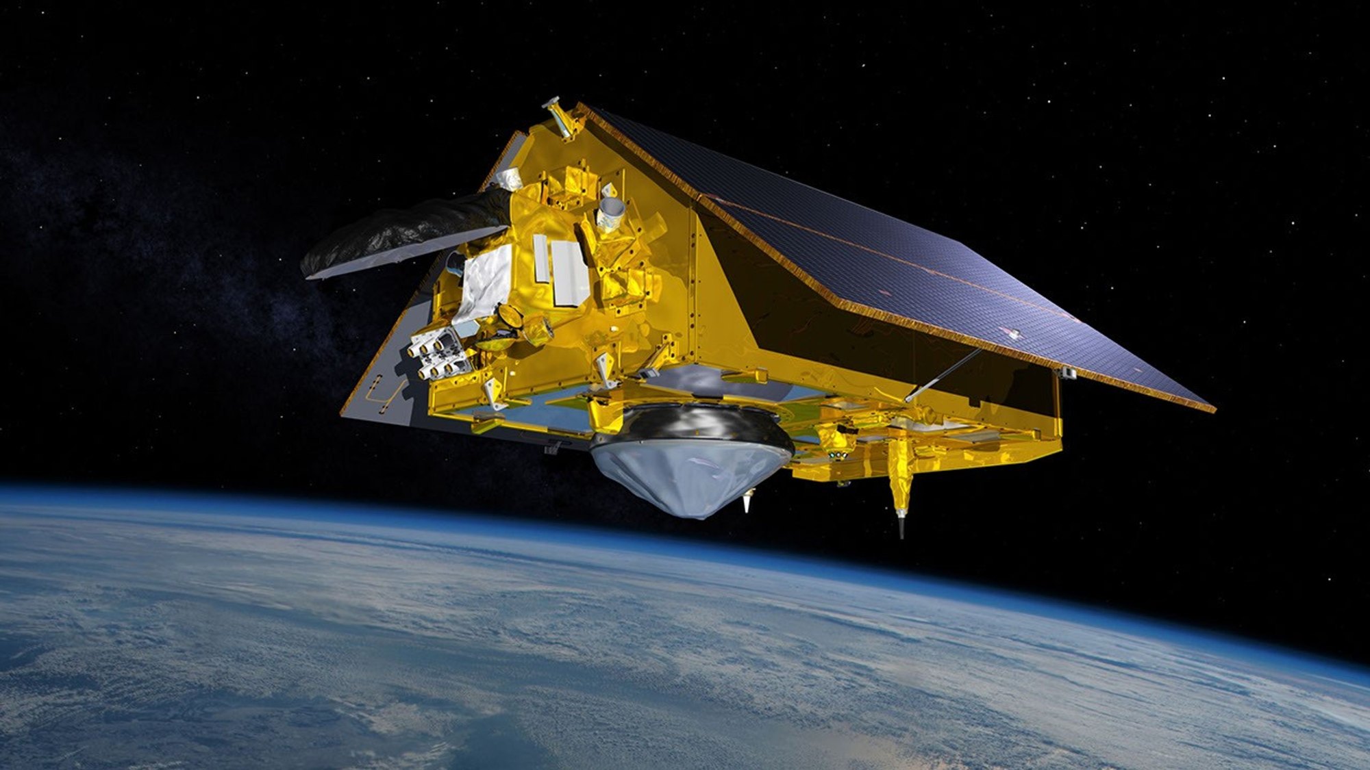
NASA’s Sentinel-6B sea-level satellite has passed all its initial system checks and, in January, will become the reference satellite that other ocean-height missions use to calibrate their data, NASA’s Jet Propulsion Laboratory said.
A calibrated spacecraft, and a handover in January
A reference satellite works like a master clock. Other altimetry satellites, which measure the height of the sea surface from orbit, compare their readings with it so that all their data lines up. Sentinel-6B was calibrated as of Oct. 30, according to NASA, and has met what the agency calls the strictest quality and accuracy standards. Its twin, Sentinel-6 Michael Freilich, holds the reference role today and keeps it until the handover.
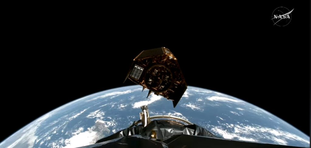
NASA and its European partners launched Sentinel-6B on Nov. 16, 2025. It is the second satellite of the Copernicus Sentinel-6/Jason-CS (Continuity of Service) mission. Together the pair feed measurements used to improve hurricane forecasts, protect infrastructure and support industries such as shipping.
Each satellite carries a radar altimeter. It sends thousands of radar pulses per second toward the sea and times how long the echoes take to return from wave crests and troughs. That timing gives ocean height, and the echoes also reveal wave size and marine wind speed. Because warm water expands, sea level also tells scientists about the volume and temperature of the ocean.
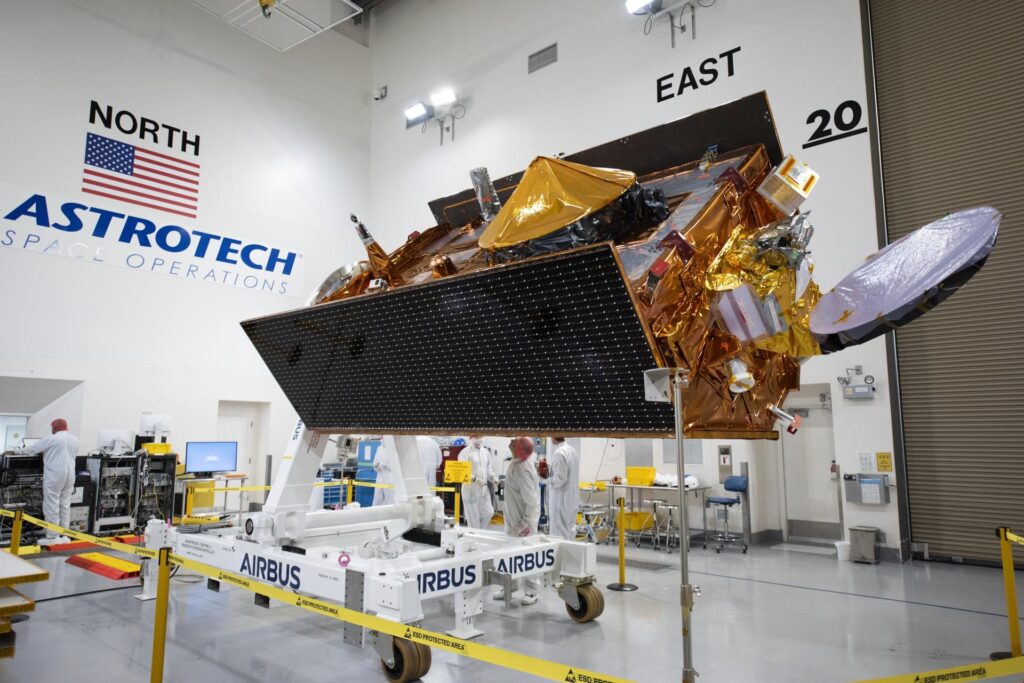
Twins that will soon stop flying in line
For now Sentinel-6 Michael Freilich flies 30 seconds ahead of Sentinel-6B on the same track. NASA says it will later move into an accompanying orbit. That shift lets the two satellites together deliver higher-resolution data than either could alone, though NASA gives no date for the move.
A test for the pair: A possible historic El Niño
El Niño is a natural pattern in which warmer-than-usual water in the central and eastern Pacific shifts weather around the world. Oceanographers expect a historic one this time, according to NASA, and both satellites are already supplying data on it. Scientists will use the measurements to study El Niño-linked sea-level changes and to track long-term global sea-level rise.
An alliance built around one unbroken record
The analysis here is about partnership. Sea-level science depends on a single, continuous measurement series, and keeping it alive has required a long-running transatlantic relay. NASA says the radar altimetry missions in this line have watched the oceans along the same ground track since the early 1990s. Staying on that track means a new satellite’s readings can be tied directly to its predecessor’s.
Our earlier report on Sentinel-6B entering operational service, based on EUMETSAT, said the global record began in December 1992 and that the mission is planned to run until at least 2030. The same report put the twins at an altitude of 1,336 km. That means the Sentinel-6 pair is expected to anchor the reference role for years, and the European and US agencies share the load rather than either carrying it alone.
The handover also shows how a reference role is passed on. An aging satellite does not simply stop. The newer craft is checked against it, declared accurate, and only then takes over, so no gap appears in the data that climate scientists rely on. The move to an accompanying orbit afterward is a way to keep getting value from the older spacecraft once the benchmark has changed hands.
NASA did not say how Sentinel-6 Michael Freilich’s orbit change would be timed relative to the January handover.