ESA’s AI marked 3,192 craters in one patch of Moon, trained by gamers
ESA's crater-detection model learned from marks made by IMPACT players. In one lunar patch it flagged 3,192 possible craters, from 6 to 180 meters across.
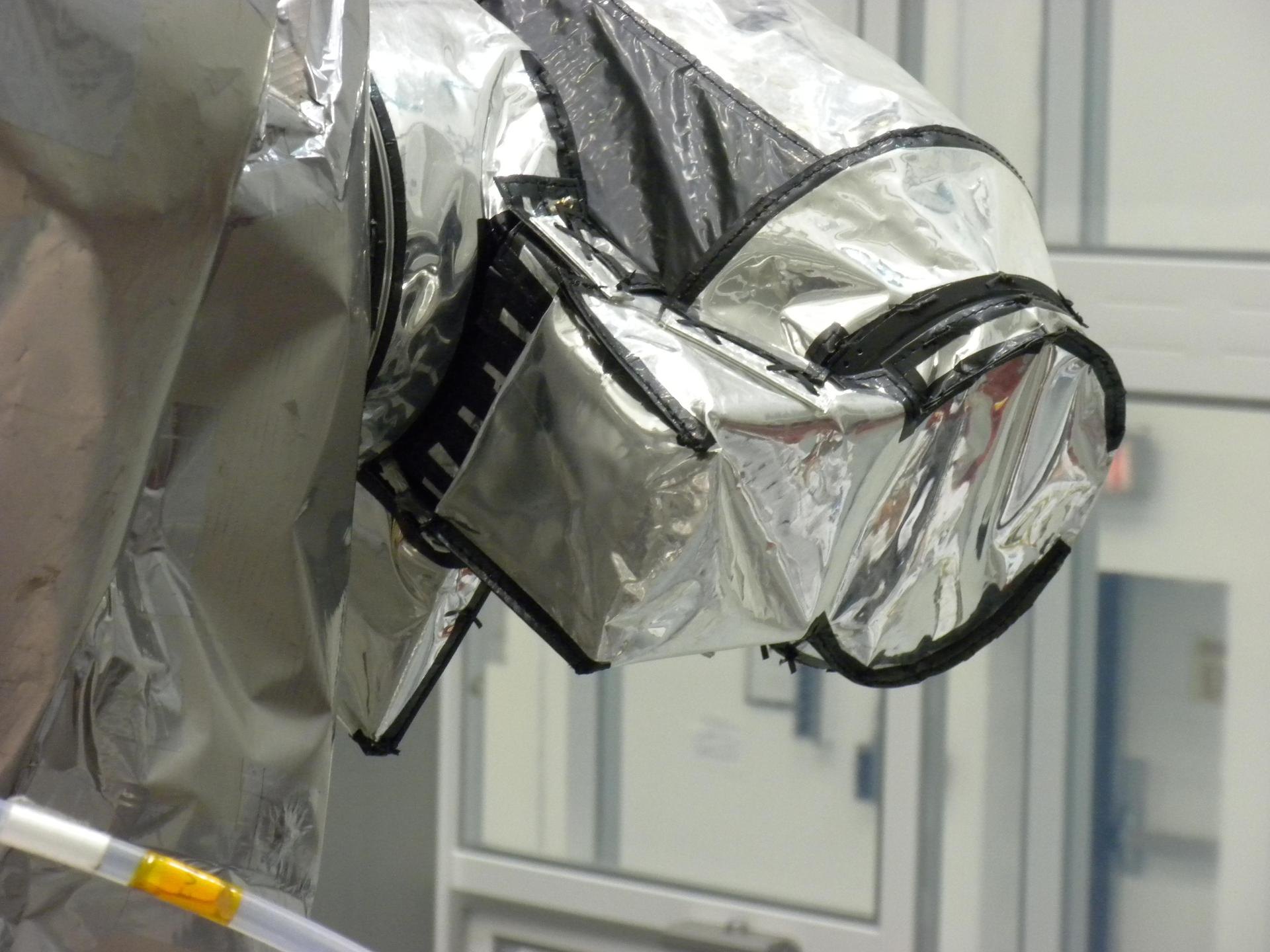
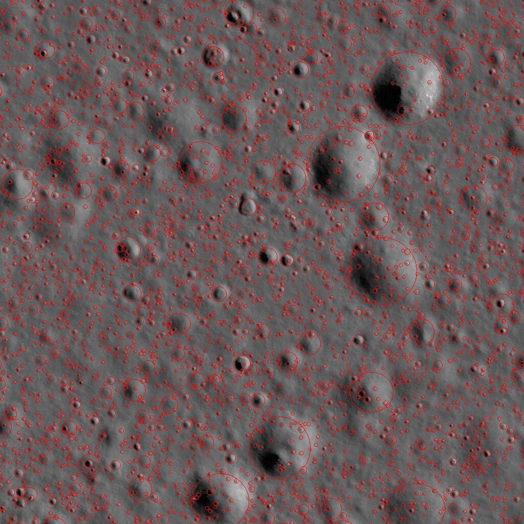
The European Space Agency’s image of the week shows a patch of the Moon where an artificial intelligence (AI) model marked 3,192 possible craters, from about 6 to 180 meters across. The model learned from craters that players of ESA’s IMPACT game outlined by hand.
Players taught the model what a crater looks like
Craters make the lunar surface hazardous for landers, so a safe touchdown zone can only be chosen once the craters, large and small, are mapped. NASA’s Lunar Reconnaissance Orbiter has photographed the Moon since 2009 and has produced millions of pictures. ESA says that combing through them manually would take far too long.
A computer can do the combing, but it first needs trustworthy, labelled examples to learn from. ESA says no high-quality public database of small lunar craters exists. IMPACT fills the gap. Players build and run their own lunar base, and one minigame rewards them with resources for outlining craters on genuine orbital imagery.
Patrick Bauer, a PhD student working on AI-based lunar crater detection with IMPACT data, described each mark as a "small but important contribution" to the mapping effort. ESA says the player marks were used both to train and to evaluate its model. The training set had 672 tiles, each 512 x 512 pixels, with craters labelled by gamers.
One patch of 1.25 by 1.27 kilometers, and what the red circles show
The picture covers a patch near 44.12°N, 307.80°E. It is a 1,024 x 1,024-pixel tile cut from image M1219279265LC, taken by the orbiter’s narrow angle camera. The full image measures 52,224 x 5,064 pixels and covers about 400 square kilometers. The imagery is credited to NASA/GSFC/Arizona State University, and the red overlays to ESA.
ESA is open about the limits. Craters with eroded rims are the hardest for the model to recognize. The model is still being developed, and its detections are not perfect. The next research step is to test whether digital elevation models, which are 3D representations of the terrain, can improve detection.
Why a European lander needs this map
The work connects to Europe’s plans for landing on the Moon. Bauer and colleagues describe the method in the arXiv paper "Vision-Language Model for Accurate Crater Detection", first submitted on 12 January 2026 and revised on 2 September 2026. The authors say ESA wants reliable crater detection because craters threaten safe landings, which ties into the agency’s planned lunar missions with the Argonaut lander.
According to the paper, the team fine-tuned a Vision Transformer model called OWLv2 on the labelled IMPACT data. On the IMPACT test set it reports a maximum recall of 92.6% and a maximum precision of 71.4%. Recall is the share of real craters the model finds, and precision is the share of its marks that are real craters. At best, then, a little over seven in ten marks were correct, which fits ESA’s own warning that the detections are not perfect.
A lander team that owns its training data can check and improve the maps it relies on, instead of depending on someone else’s. The IMPACT dataset has an unusual origin: it was built by game players, and it can keep growing as they play.
Crater mapping is one strand of ESA’s lunar work. The agency has also opened a navigation contest for a lost rover with no GPS, another problem that depends on knowing the terrain.