Hydrosat’s Osiris cameras get their NASA light test before launch, with color-by-color checks
NASA finished calibrating the visible and near-infrared cameras for Hydrosat's four-satellite Osiris constellation on Oct. 30, using a laser lab at Goddard.

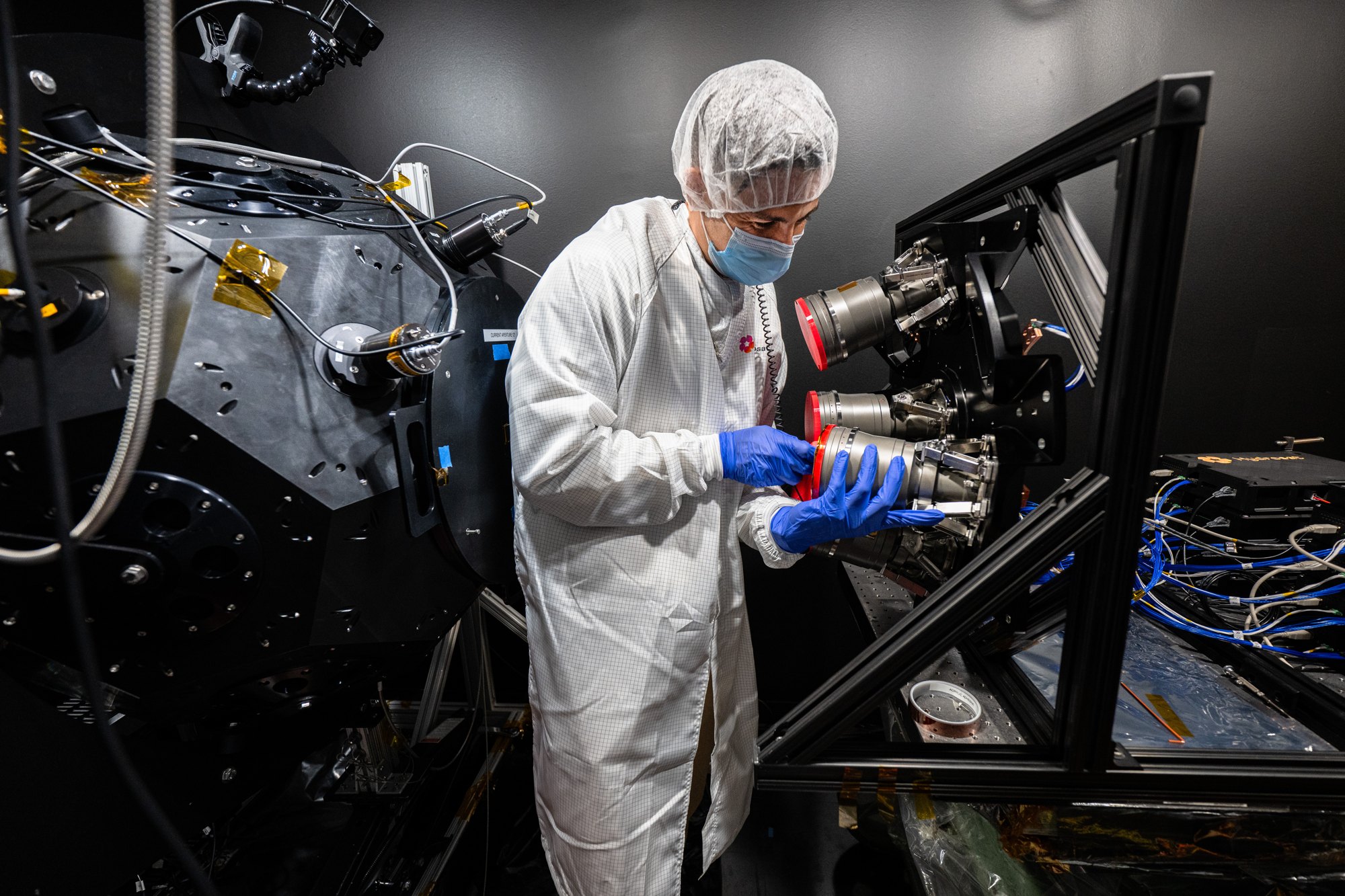
NASA finished calibrating the cameras for Hydrosat Osiris, a planned fleet of four Earth-imaging satellites, on Oct. 30. The tests at the Goddard Space Flight Center in Maryland checked whether the sensors measure light accurately enough to track small changes in crops and land.
The work was described in a NASA small satellites blog post published on Nov. 18. Each of the refrigerator-sized Osiris satellites will carry visible-near-infrared sensors and long-wave-infrared sensors. Near-infrared is light just beyond red that human eyes cannot see, and long-wave infrared senses heat.

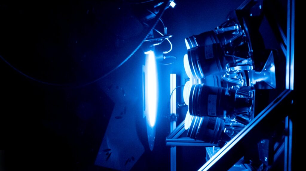
A sphere that glows blue, green, yellow, orange and red
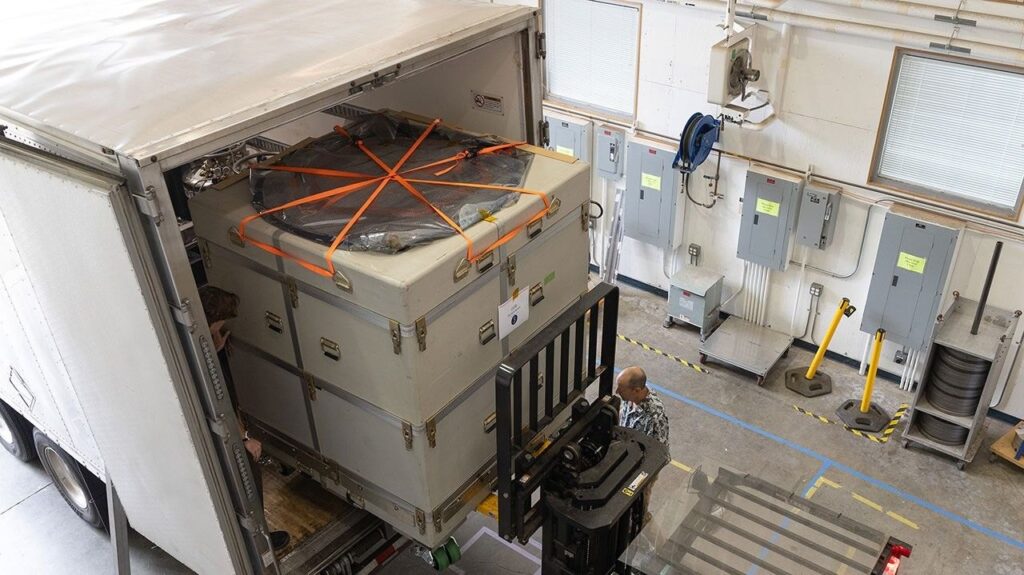
Hydrosat’s visible-near-infrared cameras reached Goddard on Oct. 16. Three days later, eight of them were set up in front of an integrating sphere in the Goddard Laser for Absolute Measurement of Radiance lab. The inside of the sphere reflects light evenly in every direction, so the cameras all see the same, highly controlled light source.
A tunable laser feeds the sphere through fiber optic cables. During the test the light changed color at regular intervals, from blue through green, yellow and orange to red. Hydrosat’s team watched the incoming data live to confirm that what the cameras recorded matched the wavelength the laser was producing. NASA says the laser is unusual in how accurately it can produce light across the visible and near-infrared range.

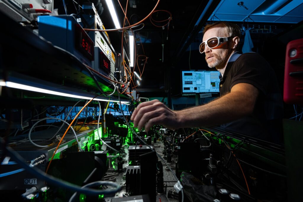
Technicians also turned the brightness of the source up and down. Earth’s surface is far less uniform than a lab sphere: grass, soil, water, concrete and ice all reflect different colors at different strengths. The brightness runs show whether the instruments stay accurate across that range.
Spotting a thirsty cornfield before it turns yellow
NASA’s example is a cornfield that looks healthy to a person walking through it. Hydrosat’s cameras might pick up patches that are starting to dry out. Combined with temperature readings from the thermal sensors, that could let a farmer water only the stressed plants rather than the whole field, which NASA says saves water, raises yield and cuts costs. The same data could also help assess infrastructure damage after hurricanes.
“The goal for these instruments is to capture very small changes on Earth’s surface,”
said Julia Barsi, director of NASA’s Calibration Laboratories at Goddard.
Why a ground calibration matters for tiny signals
Calibration means measuring a known light source so that the numbers a sensor reports can be trusted. Without it, a slow drift in a camera could look like a field slowly drying out. This is why the test chose a source whose color and brightness are known precisely, and why field-level changes, rather than continental trends, set the bar.
Osiris follows Hydrosat’s VanZyl-1 and VanZyl-2 satellites, launched in 2024 and 2025. NASA says Osiris will improve the resolution of the company’s current data, letting scientists study the surface in more detail, though it gives no numbers.
Like the earlier satellites, Osiris data will reach authorized users through NASA’s Commercial Satellite Data Acquisition program, which develops commercial data for scientific research and applications. NASA also suggests the Hydrosat tests could serve as a blueprint for proving that commercial satellite data is science-grade, which would speed up research that relies on it. Aaron Freeman, Hydrosat’s director of engineering, called the arrangement “the best win-win I’ve seen in a long time.”
The NASA post does not give a launch date for the Osiris satellites.