Antarctica’s Thwaites Glacier may add up to twice the projected sea level rise
A model from NASA's Jet Propulsion Laboratory finds Thwaites could contribute more to sea level rise by 2100 than some estimates. In some simulations, up to double current projections.

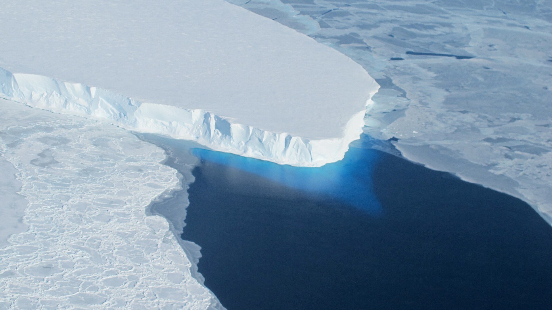
A new study using a computer model from NASA’s Jet Propulsion Laboratory finds that Antarctica’s Thwaites Glacier could add more to sea level rise by 2100 than some earlier estimates. In some simulations, the contribution was twice current projections, NASA said.
A wide zone instead of a thin line
Thwaites sits in West Antarctica. Where its ice leaves the bedrock and begins to float on the sea, the ice stops being held in place by the land. Most ice sheet models draw that handover as a single sharp boundary known as the grounding line.

The researchers, from JPL, the University of California, Irvine, and Dartmouth College, model it instead as a grounding zone. According to NASA, this is a band several miles wide in which seawater works its way beneath ice that is still resting on the ground. Tides lift the ice in that band, which can set off instabilities.
The lifting matters because it lets warmer seawater reach the grounded ice. That speeds up melting and destabilizes the glacier more than a single line would allow, NASA explained. The study was published on Oct. 12 in Nature Communications.

Four times closer to the satellite record
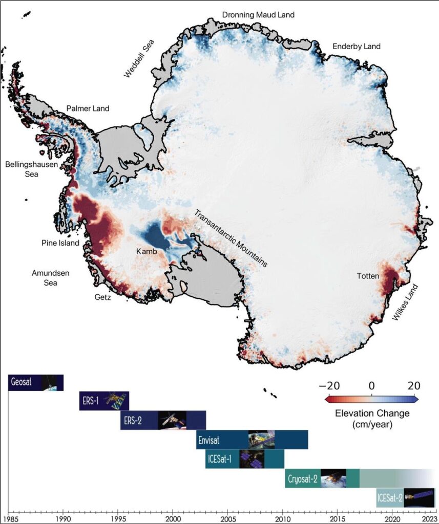
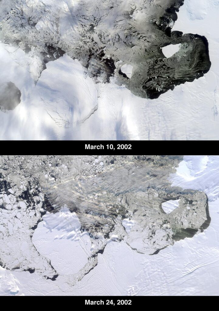
The test of any ice model is whether it can reproduce what has already happened. NASA says that with grounding zones included, the model matched satellite observations of the glacier’s retreat back to the 1990s four times more closely than models that leave them out.
That better fit is the basis for the higher projections. A model that follows the past retreat more closely is a stronger guide to the next decades, which is why the researchers say it could give coastal regions more reliable information on what higher seas to expect. NASA’s release gives no single sea level figure for the study, only the comparison with current projections and with some other estimates.

How big a stake Thwaites is
The International Thwaites Glacier Collaboration, a joint US-UK research program, describes the glacier’s drainage basin as about 192,000 square kilometers, larger than Florida’s roughly 170,000. Its fact sheet says the glacier already accounts for around 4% of global sea level rise, and that its full loss would raise the oceans by about 65 centimeters (25 inches).
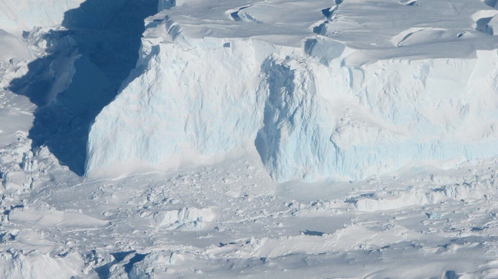
Thwaites also helps hold back neighboring ice, so what happens to it affects more than its own volume. That is why a projection that could differ by a factor of two draws attention. A doubling is not a forecast for the whole glacier, though: NASA describes it as the result of some simulations, not of all of them.
What would test the result
The study’s claim can be checked in two ways. One is whether other ice sheet models that adopt grounding zones also move toward the higher end of the range. The other is whether new satellite and field measurements of the glacier’s edge continue to follow the retreat the model describes. The researchers’ own validation against 1990s-onward satellite data is the main evidence at present, as NASA presents it.
NASA’s release does not name follow-up work or dates. The paper itself is the place to look for the exact range of sea level contributions, the emissions scenarios behind them and the uncertainty the authors attach to each.
The same NASA Science post carries the news. The photograph shows Thwaites as it looked in 2014.