Europe’s next weather satellite crosses the Atlantic under sail power
ESA's MetOp-SG-B1 weather satellite reached Europe's Spaceport on the wind-assisted ship Canopée and is due to fly on an Ariane 6 by the end of the year.

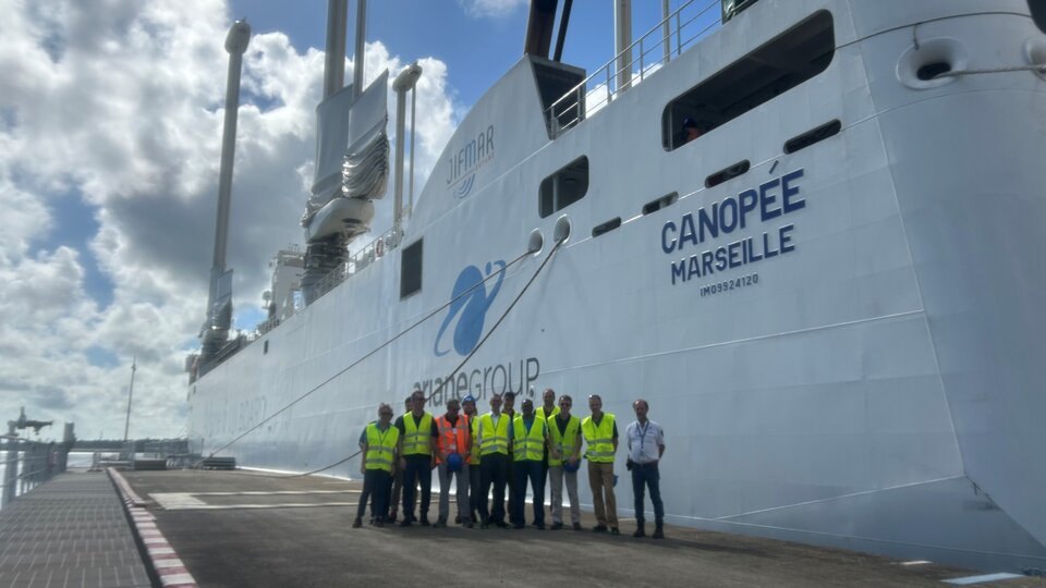
The MetOp-SG-B1 weather satellite has arrived at Europe’s Spaceport in French Guiana after a 10-day sea voyage from Bordeaux, ESA said. An Ariane 6 rocket is expected to launch it by the end of the year.
A sailing cargo ship carries a 75-tonne shipment
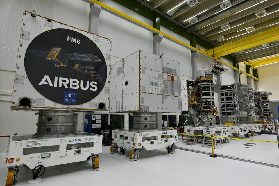
After final testing at Airbus in Toulouse, the satellite was packed into its shipping container and driven by lorry to Bordeaux. There it was loaded onto the Canopée, a ship that combines wind power with conventional fuel. ESA’s launch campaign manager for the satellite, Karsten Strauch, called it “the most sustainable way of transporting MetOp-SG-B1 across the Atlantic”.

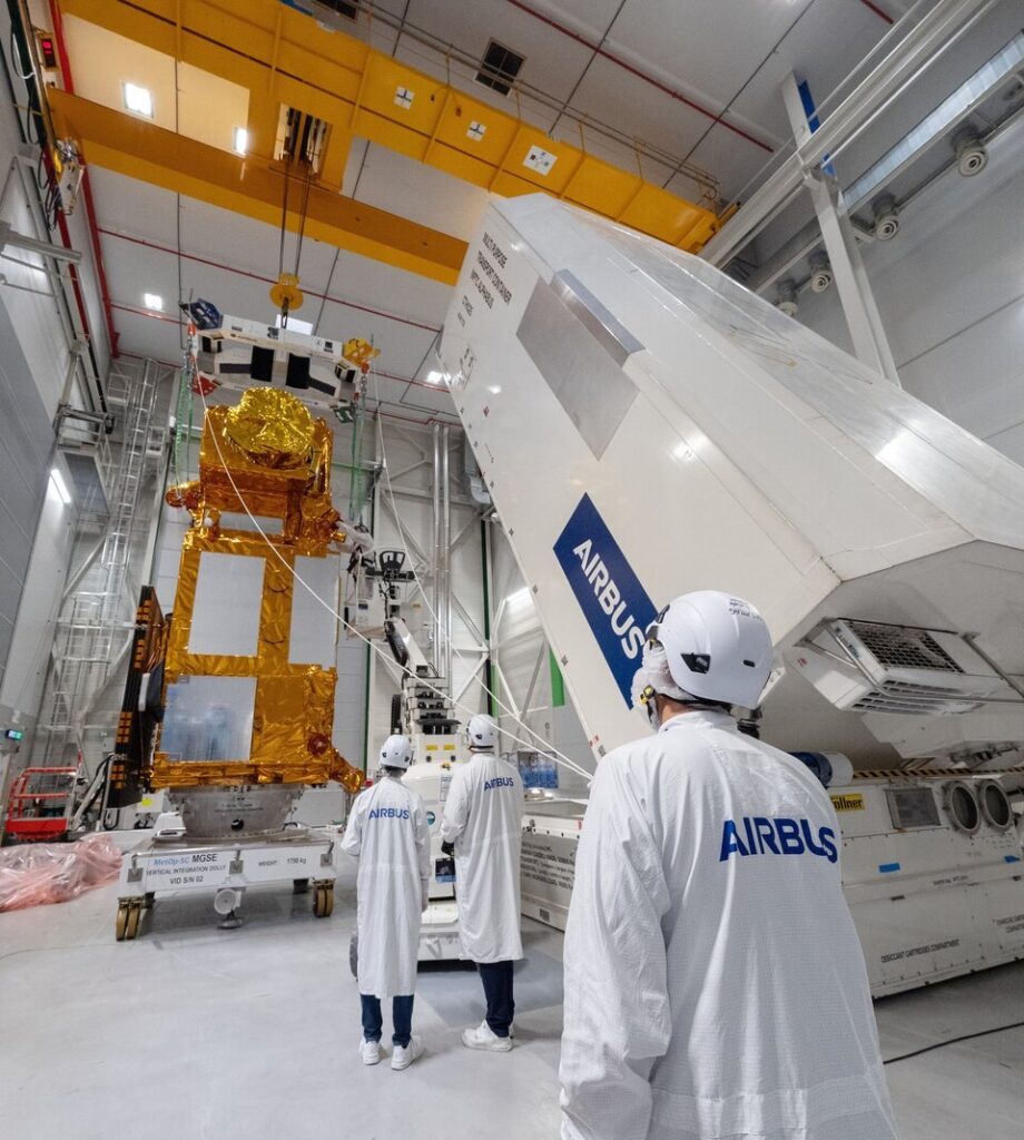
Besides the satellite, the ship carried six more containers of launch-preparation equipment. ESA puts the total cargo at 75 tonnes. The Canopée arrived on 16 October, the satellite container was unloaded at Pariacabo harbour on 17 October, and it was taken to the spaceport for storage. It will wait there for a couple of weeks before the launch preparations begin.
Five instruments, from ocean winds to cloud ice
MetOp Second Generation is a weather-watching system flown from polar orbit, a path that passes over the Earth’s poles so the satellite eventually sees the whole planet. It is built around pairs of satellites with different instruments. The first, MetOp-SG-A1, launched in August 2025, and B1 is its partner. Between them the two carry 11 instruments.

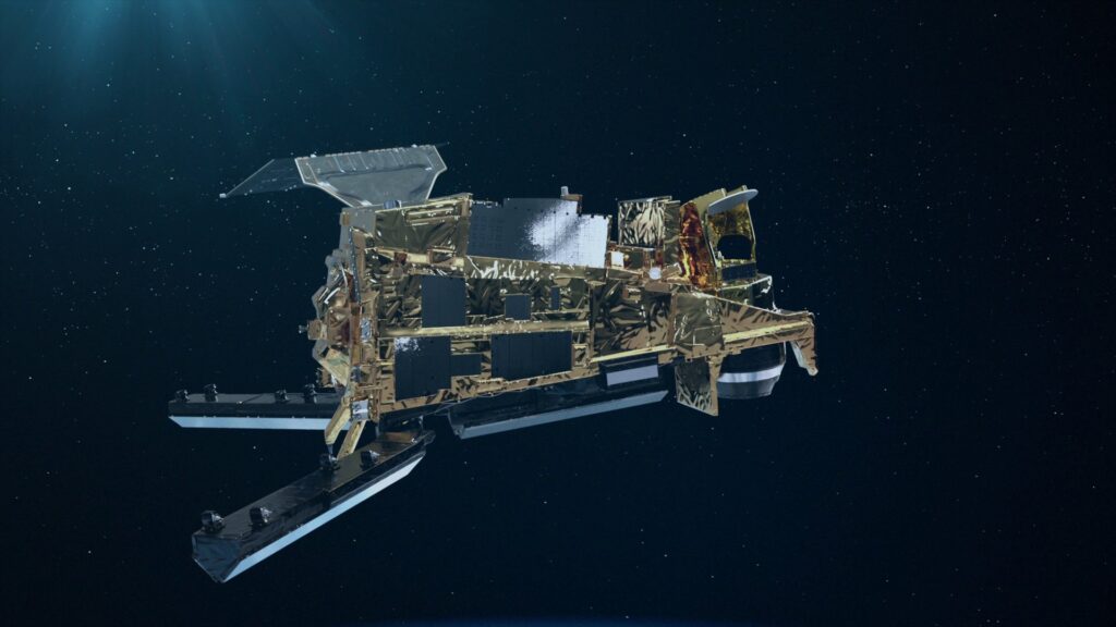
B1 carries five:
- A scatterometer, which measures ocean-surface wind direction and speed, and soil moisture on land.
- A radio occultation sounder, which reads atmospheric temperature and humidity from how satellite navigation signals bend through the air. It also gives information on the ionosphere, the electrically charged upper atmosphere. The A-type satellites carry it too.
- A microwave imager, which tracks precipitation and sea-ice extent.
- An ice cloud imager, which measures the ice water in clouds.
- Argos-4, a data collection system that relays data from surface stations, buoys, ships, balloons and aircraft.
Who relies on the data: Forecasters for two decades
Forecasters are the main users. According to ESA’s MetOp-SG mission page, the satellites orbit at 800 km altitude. The mission is made up of six satellites, in three pairs of A-type and B-type spacecraft, and each is designed to last 21 years. The ocean-wind and precipitation measurements feed storm forecasts. The cloud-ice measurements address a part of the atmosphere that is hard to observe, and one that forecast models still struggle with.

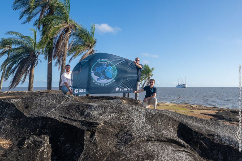
The mission page also confirms the date and rocket of the first launch. MetOp-SG-A1 lifted off on 13 August 2025 from Kourou on an Ariane 6, so B1 will use the same rocket from the same site. The upcoming flight should appear on the rocket launch schedule once an exact date is set. The source gives only “the end of the year”, and ESA has not yet named a launch date.
The transport choice also fits how this satellite is handled. A weather satellite is delicate, and ESA noted that B1 traveled in its own container, with its support equipment in separate ones. The ship’s wind assistance is a small part of the story, but it is the part ESA chose to stress in its account of the voyage.
European weather services have a similar eye on the ground. ESA’s Sentinel-3C recently sent back its first temperature-radiometer image, of Hurricane Rachel, another reminder of how closely storms are now watched from orbit.
The next step is the end of storage, expected in a couple of weeks. Teams then begin preparing the satellite for launch.